
DGPS Trimble R8s
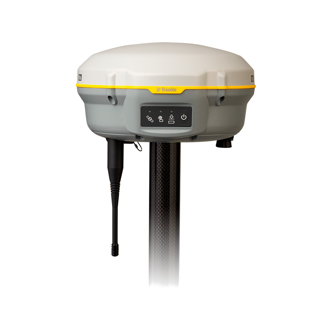
| DGPS Trimble R8s | |
|---|---|
| Location: | Lab. 1.87 Edf. 7 |
| Manager: | Margarida Ramires |
| Operator: | User |
| Operating Principle: | Global Navigation Satellite System (GNSS) |
| Manufacturer: | Trimble |
| Model: | R8s |
| Type: | DGPS |
| Website: | Trimble |
The Trimble® R8s GNSS Receiver is a high-precision geodetic receiver designed for surveying, mapping, environmental monitoring, and geospatial data acquisition applications. Based on Global Navigation Satellite System (GNSS) technology, the instrument enables centimetre-level positioning accuracy through Real-Time Kinematic (RTK) techniques or post-processing, making it widely used in research projects, engineering, coastal monitoring, and land management applications.
The Trimble® R8s integrates the GNSS antenna, receiver, battery, communication systems, and, optionally, a UHF radio or GSM modem into a single unit, providing a compact, rugged solution suitable for demanding field conditions. Its modular architecture allows the instrument to be configured as a rover, a base station, or both, and enables subsequent expansion through the activation of additional software and hardware options without the need to replace the instrument.
Equipped with Trimble 360™ technology, a Maxwell™ 6 processor, and up to 440 GNSS channels, the R8s is capable of simultaneously tracking signals from the GPS, GLONASS, Galileo, BeiDou, and QZSS constellations (depending on configuration and licensing), ensuring high satellite availability and excellent performance even in partially obstructed environments, such as forested areas, urban environments, or coastal cliffs.
Communication between the receiver and the field controller is achieved via Bluetooth® technology, enabling completely wireless operation. The instrument also supports GNSS observation data logging for post-processing, integration with RTK/NTRIP networks, and the use of internal or external radios for the transmission of differential corrections. Survey control and data processing are carried out using the Trimble Access™ and Trimble Business Center™ software ecosystem, providing a complete workflow from field data acquisition to final map production.
Calendar / Availability
RequestMain Applications
- High-precision topographic surveys;
- Georeferencing of sampling points;
- Environmental mapping;
- Coastal monitoring;
- Geomorphology studies;
- Habitat mapping;
- Geological surveys;
- Support for drone surveys (GCPs and control points));
Main Advantages:
- Real-time centimeter-based (RTK) positioning;
- High precision and repeatability;
- Support for multiple GNSS constellations;
- Trimble 360™ technology with high-performance tracking;
- Modular and expandable architecture;
- Integration with UHF radios and NTRIP networks;
- Compact, robust equipment suitable for use in demanding environments;
Technical Specifications:
| Specification | Value |
|---|---|
| Manufacturer | Trimble Inc. |
| Model | R8s GNSS Receiver |
| Software | Trimble™ |
| Horizontal Accuracy (RTK) | ±8 mm + 1 ppmm RMS |
| Vertical Accuracy (RTK) | ±15 mm + 1 ppmm RMS |
| Horizontal DGPS | ±25 cm + 1 ppmm RMS |
| Vertical Static Accuracy | ±50 cm + 1 ppmm RMS |
| Refresh Rate | 1, 2, 5, 10 or 20 Hz |